
Tea Houses & Trading Routes: Exploring the Humber River Valley
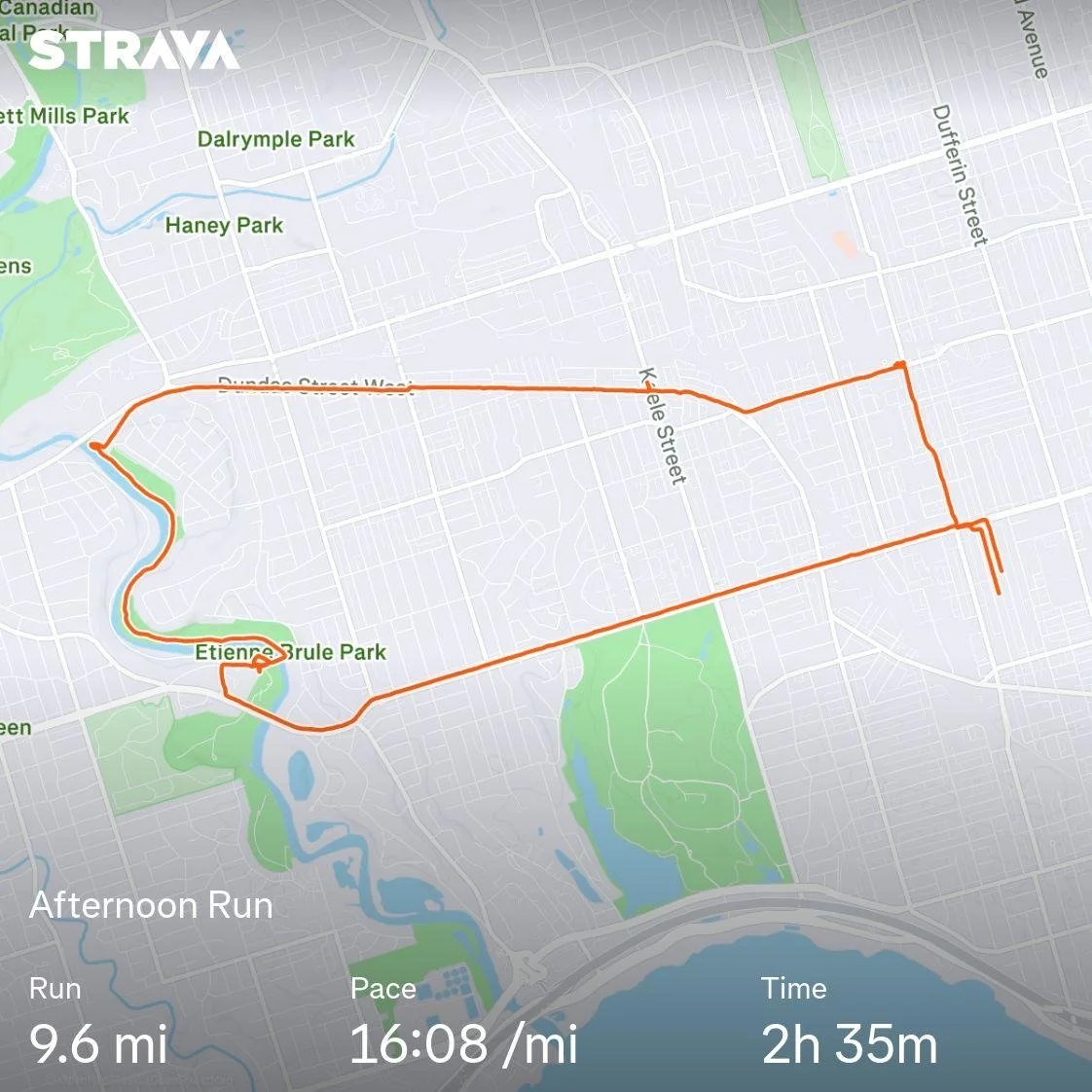
This week’s hike took me along the Humber River through Old Mill and the Kingsway, one of Toronto’s rare pockets where it still feels like you’ve stepped into an older, quieter version of the city.
As you move through the neighbourhood, the Old English-style homes aren’t accidental. The area was carefully planned in the early 1900s by Robert Home Smith, a developer with a vision for a refined, storybook community built around the river valley.
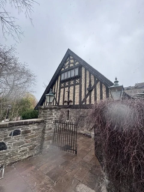
At the heart of it all sits the Old Mill, originally established in 1914 beside the ruins of earlier mills that date back to the late 1700s. This area is actually Toronto’s first industrial site!
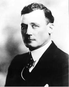
Robert Home Smith - Born in Stratford Ontario in 1877
Smith was also responsible for developing the incredible Sunnyside Park on the waterfront before it was destroyed in the 1950’s to make room for the Gardiner Expressway.
An 1848 stone mill was the last to operate before burning down in 1881.
Here is a picture of the last old mill’s ruin which was incorporated into a residential tower in the early 2000’s.
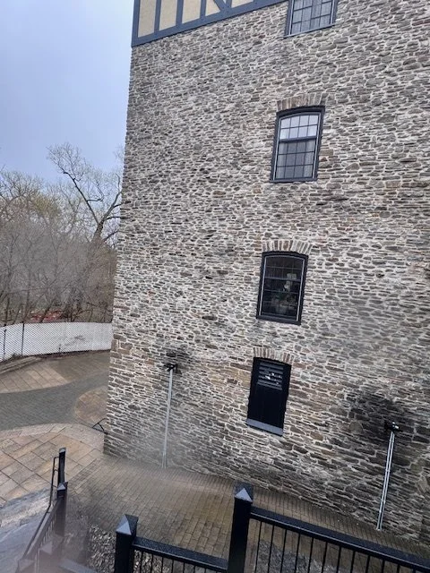
When I was a kid, my family would come here for Easter brunch. My sisters, cousins, and I would run around this old mill ruin, back when they were just stones in an open field. Those early spring days, when winter was finally breaking, always seemed to put everyone in a good mood with the distinct sound of Spring in bloom and the anticipation of summer. It’s one of those places that still carries that feeling.
I then hiked north beside the river to Dundas and soaked up the quiet refuge.
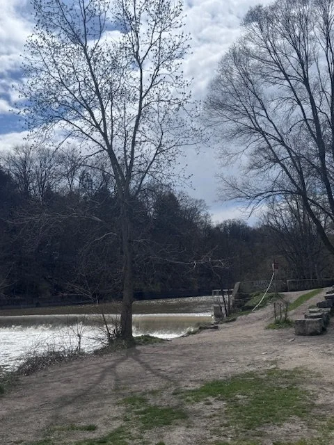
Long before any of the development, the Humber River itself was something else entirely. This was an Indigenous highway that is thousands of years old. It became part of the fur trade network that connected Indigenous traders and French settlers. In the early 1600s, French explorer Étienne Brûlé is believed to have traveled this route.
After reaching Dundas. I travelled eastward toward Bloordale. The winding road of Dundas is a result of Lieutenant Governor John Graves Simcoe who surveyed and cleared the route in 1794-95 as a military supply line to connect York (Toronto) to the "Head of the Lake" (Hamilton) and London, Ontario. The street was gradually formed by linking smaller roads and streets together across the city.
As I hiked the sidewalk, the ambiance contrast from the riverside was quite noticeable. Sounds of a stream in quiet surroundings with some birds chirping on a cool Spring day, were replaced by idling car engines being delayed by slow moving traffic because of spring road closures.
Interesting Vintage Find This Week
As many of you know, I am an unapologetic vintage hunter. When I am hiking on my own, I also incorporate thrifting as if the two functions were meant to go hand in hand.
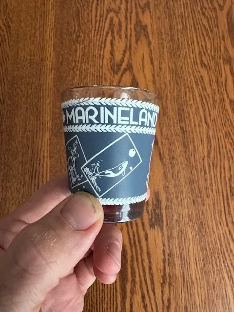
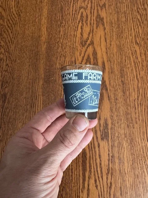

This week I uncovered a Marineland shot glass. It however is not just another “everyone loves Marineland” shot glass. This one is from the late 1960s when the park was first marketed as Marineland and Game Farm. The once proud international tourist attraction was lauded for decades as a great family getaway until many complaints and subsequent charges arrived around animal cruelty that forced the attraction to close in 2024. The site is currently for sale and awaits redevelopment as the land is now very desirable.
Happy Hiking!
Instagram - urbanhikingtoronto